


Brazil road trip map
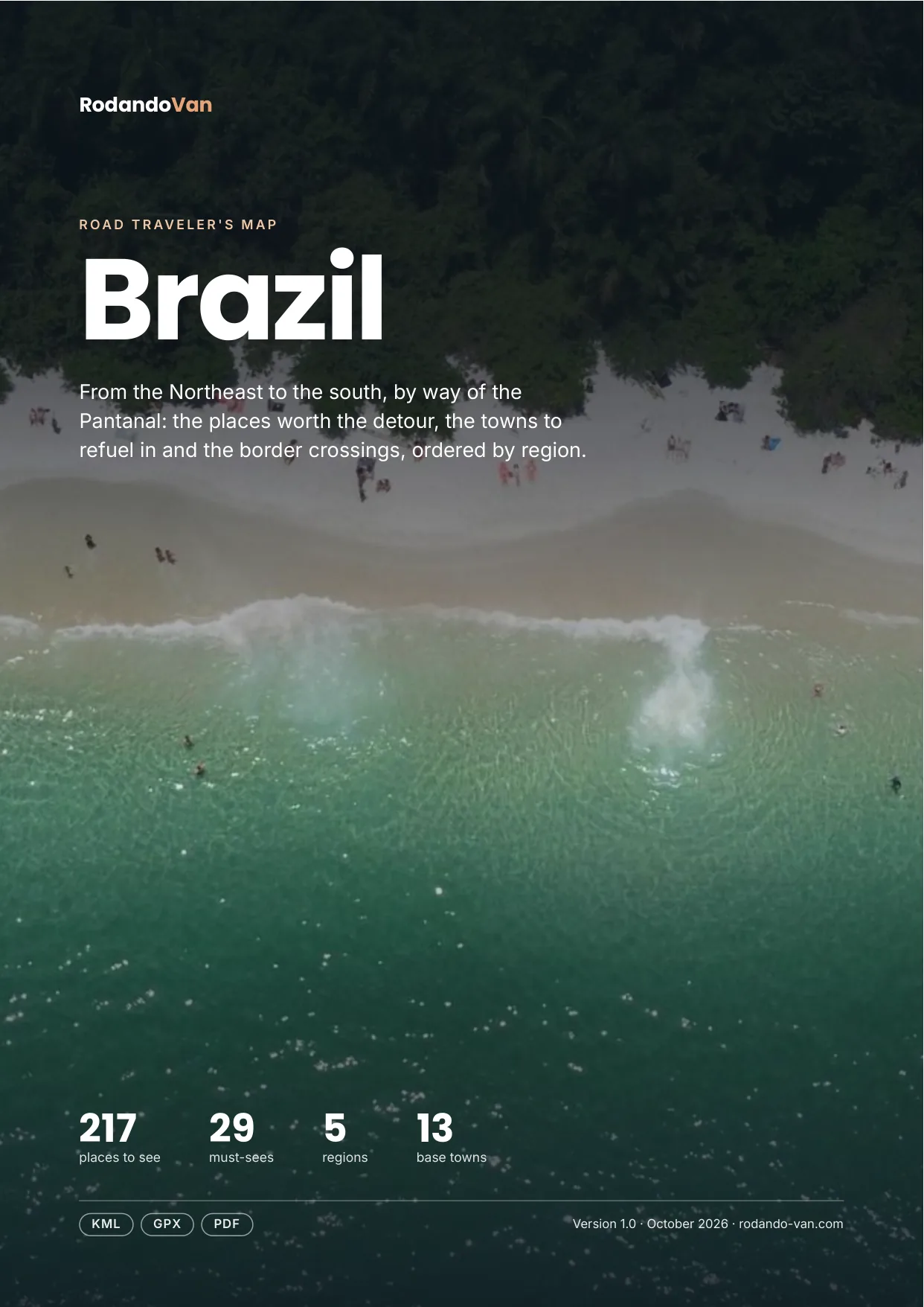
217 places from the Northeast to the south, by way of the Pantanal, organized into 5 regions, with the towns to refuel in, the isolated gas stations and the border crossings. On your phone with no signal, and in a mini guide to plan with.
- Instant download
- Works offline
- Free updates
Explore Brazil by region
Pick a region and tap a large dot to see that must-see.
Northeast
Salvador and Bahia, Chapada Diamantina, Olinda, the beaches of Pernambuco and Alagoas, Jericoacoara and Lençóis.
- 14 beaches, coasts and islands
- 6 parks and nature
- 3 towns and cities
- 3 base towns
- 1 mountains, volcanoes and glaciers
- 1 lakes, rivers and waterfalls
Must-sees in this region
- Lençóis Maranhenses National ParkPark famous for its impressive dunes and lagoons formed in a white sand desert.
- Chapada Diamantina National ParkNational park with impressive mountains, waterfalls and rich biodiversity, ideal for hiking.
- JericoacoaraCoastal village in northeastern Brazil, famous for its dunes, lagoons and unique sunsets.
- Fernando de NoronhaArchipelago known for its idyllic beaches and rich marine life, ideal for diving and ecotourism.
- Porto de GalinhasNatural pools and reefs ideal for snorkeling.
- ItacaréBahia destination with tropical beaches, waterfalls and hiking trails in the middle of the Atlantic Forest.
- OlindaUNESCO World Heritage colonial town next to Recife, with hills and churches and a very popular carnival.
- SalvadorCapital of Bahia, cradle of Afro-Brazilian culture, with music, food and the colorful Pelourinho.
Plus 21 more places in this region, each with its number on the mini guide map.
Amazon
Manaus and the Meeting of the Waters, Belém and the river beaches of Alter do Chão.
- 1 beaches, coasts and islands
Some places in this region
- Ilha do AmorA river beach in the heart of the Amazon, with white sand on the Tapajós River.
Pantanal and Center-West
Bonito, the Pantanal, Chapada dos Veadeiros and Jalapão.
- 15 lakes, rivers and waterfalls
- 13 parks and nature
- 3 towns and cities
- 3 base towns
Must-sees in this region
- Jalapão State ParkPark known for its unique landscapes, sand dunes and crystal-clear rivers.
- Chapada dos VeadeirosNational park with rock formations, canyons and waterfalls in the heart of the Brazilian Cerrado.
- Pantanal Matogrossense National ParkThe largest wetland in the world, with wildlife such as jaguars, caimans and exotic birds.
- Abismo AnhumasSpectacular chasm accessed by guided rappel to reach an underground lake with crystal-clear water.
- Gruta do Lago AzulCave with a lake of intensely blue water, surrounded by stalactites and stalagmites.
- Rio da PrataRiver with transparent water ideal for guided snorkeling among fish and underwater vegetation.
Plus 28 more places in this region, each with its number on the mini guide map.
Southeast: Rio, São Paulo and Minas Gerais
Rio de Janeiro, the Costa Verde, Paraty and the colonial towns of Minas.
- 35 beaches, coasts and islands
- 17 parks and nature
- 15 lakes, rivers and waterfalls
- 8 towns and cities
- 8 culture and history
- 7 food and markets
Must-sees in this region
- Serra da Canastra National ParkNational park of open, wild landscapes, famous for its rivers, treks and the imposing Casca d'Anta Falls.
- Arraial do CaboKnown as the "Brazilian Caribbean", with crystal-clear water perfect for diving and snorkeling.
- Ipanema BeachAn icon of Rio de Janeiro, perfect for sunsets and local culture.
- Lopes Mendes BeachConsidered one of the best beaches in Brazil, on Ilha Grande.
- IlhabelaIsland with many beaches, waterfalls and a jungle setting.
- Ouro PretoColonial town famous for its baroque architecture and rich mining history.
- TiradentesCharming colonial town with cobbled streets, baroque churches and a vibrant cultural life.
- ParatyColonial town with cobbled streets, historic architecture and access to idyllic beaches and islands.
- Escadaria SelarónColorful staircase decorated with tiles from around the world, the work of artist Jorge Selarón.
- Sugarloaf MountainEmblematic mountain reached by cable car, with spectacular views of beaches and bays.
- Christ the RedeemerWorld icon of Rio, a huge statue on Corcovado with panoramic views of the city.
Plus 92 more places in this region, each with its number on the mini guide map.
South: Paraná, Santa Catarina and Rio Grande do Sul
Iguaçu, Florianópolis, Ilha do Mel and the canyons of Aparados da Serra.
- 26 beaches, coasts and islands
- 13 parks and nature
- 7 lakes, rivers and waterfalls
- 5 viewpoints and scenic drives
- 4 towns and cities
- 4 base towns
Must-sees in this region
- Aparados da Serra National ParkPark famous for the Itaimbezinho Canyon, with imposing rock walls and trails among araucaria trees.
- Rosa BeachBeach famous for surfing and whale watching, with a relaxed atmosphere and unspoiled nature.
- Marco das Três FronteirasMonument where the borders of Brazil, Argentina and Paraguay meet, with views of the Iguazú River.
- Ponte Hercílio LuzIconic suspension bridge in Florianópolis, a symbol of the city and one of the most photographed in Brazil.
Plus 59 more places in this region, each with its number on the mini guide map.
Must-seeOther place
What's on the map
230 places in 9 categories, each one a layer in your maps app.
- Beaches, coasts and islands76
- Parks and nature49
- Lakes, rivers and waterfalls38
- Towns and cities18
- Base towns13
- Culture and history10
- Viewpoints and scenic drives10
- Mountains, volcanoes and glaciers9
- Food and markets7
Inside the mini guide
23 pages with a map for each region, for your phone or to print.
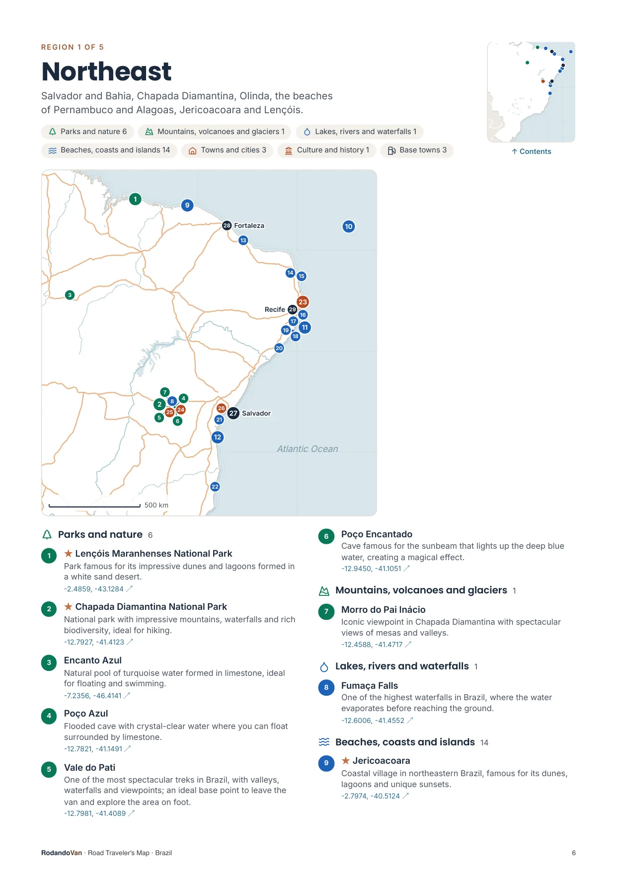
A map for each region, with every place numbered
- The number is the same on the map, in the list and in the phone file.
- Where many places are close together, a separate detail map.
- The coordinates open the place in Google Maps from the PDF.
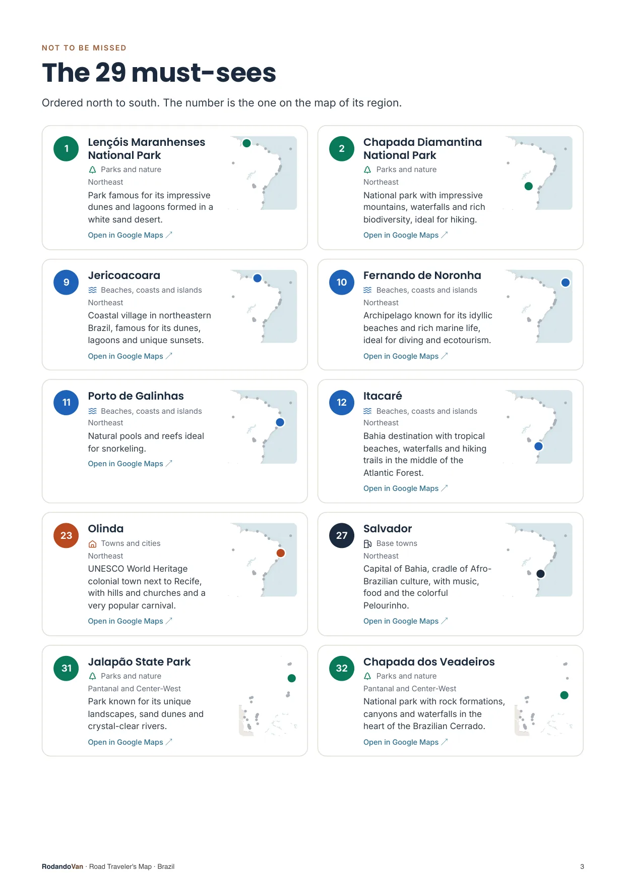
The must-sees, on cards
- What we wouldn't skip in Brazil, ordered by region.
- Each card has a small map showing where it is in its region.
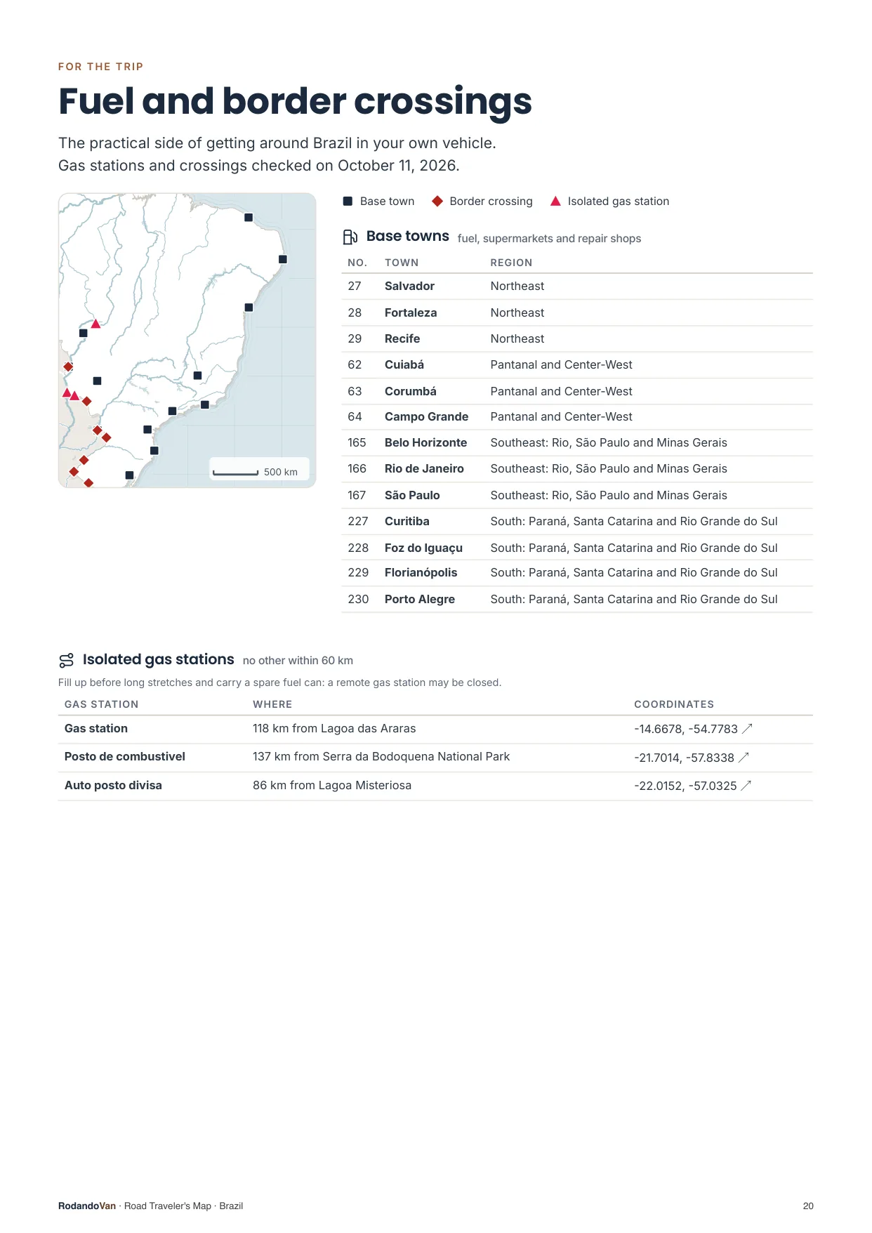
The practical side of getting around
- 13 towns to refuel, shop and find a mechanic.
- 3 gas stations with no other nearby, so you don't run short on long stretches.
- 12 border crossings with their location.
What you get
A ZIP with the map for your phone and the mini guide, ready to use offline.
- The map on your phoneAll 230 places in KML and GPX, each with its number, category and description. Works with Organic Maps and OsmAnd (offline) and with Google Maps through My Maps.KMLGPX
- 23-page mini guideA map for each region with numbered places, the must-sees on cards, ready to print.PDF
- Practical info for the tripBase towns and border crossings, on the same map. Isolated gas stations, in the mini guide.KMLPDF
- UpdatesWhen we fix or add places, you get the new version at no extra cost.
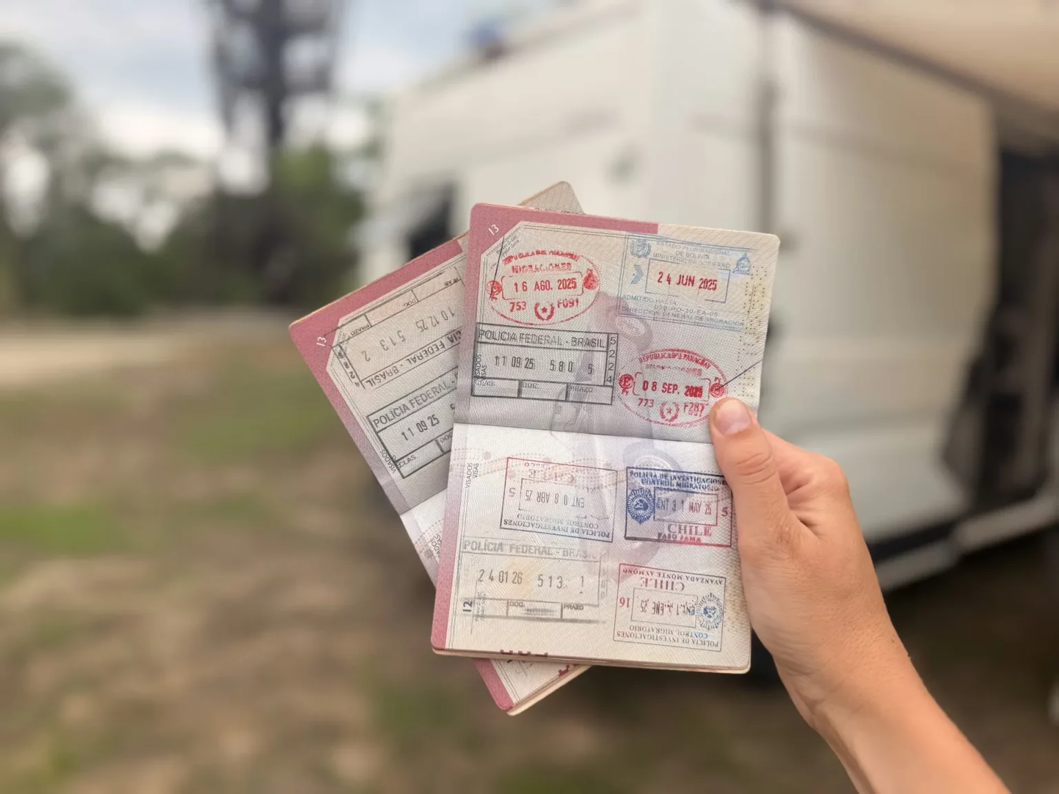
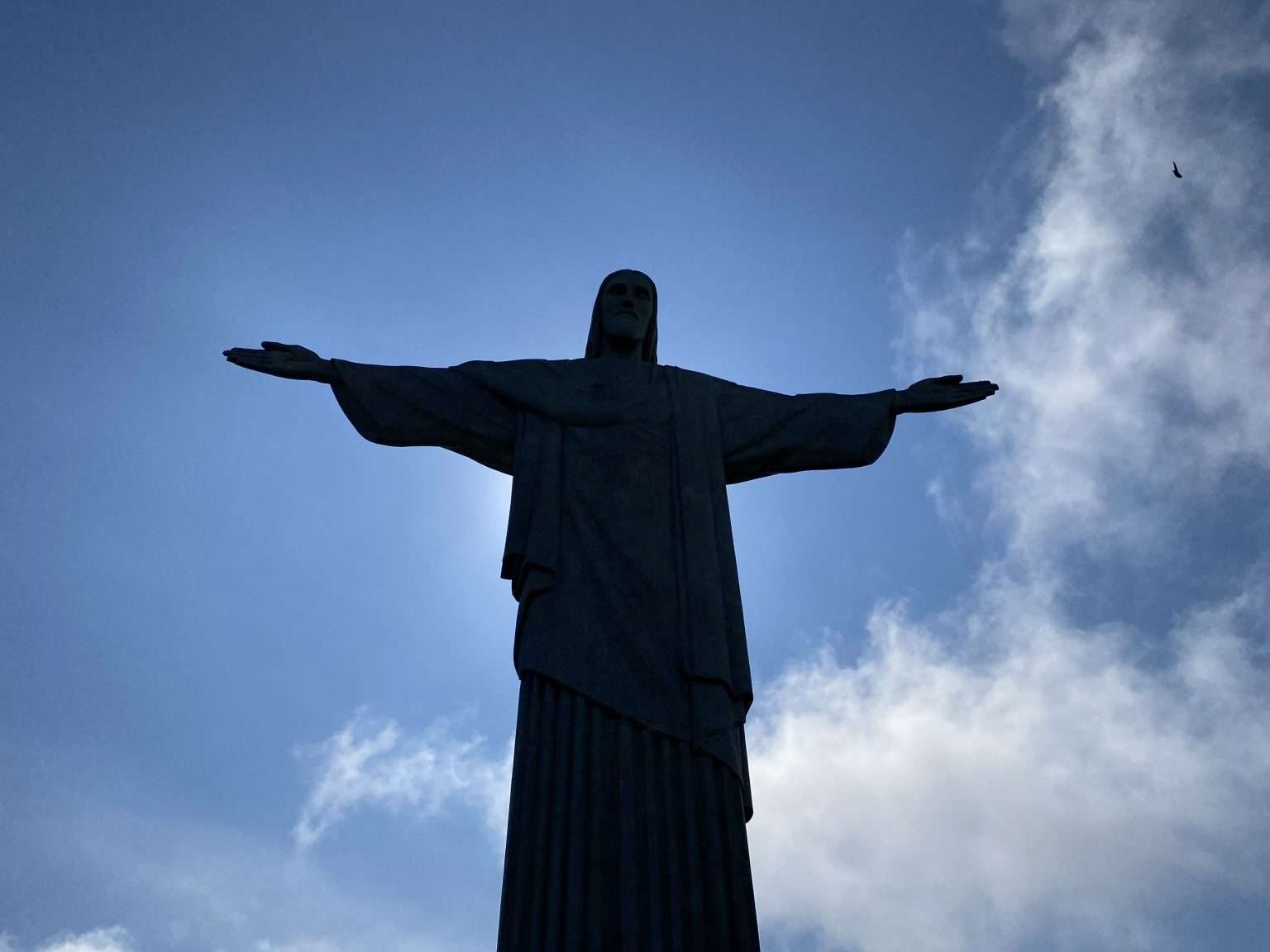

From our trip through Brazil
We put this map together while traveling through Brazil in our van, with the places we thought were worth it.
How it works
No accounts, no subscriptions.
Buy the map
Secure card payment. You'll get an email with the download link.
Load it on your phone
Open it with Organic Maps or Google Maps. The ZIP and the mini guide include instructions for each app.
Use it with no signal
Find each place by number, region or category. Use the mini guide to plan your route or print it.
Frequently asked questions
Which apps does it work with?
With Organic Maps and OsmAnd, on iPhone and Android and offline; with Gaia GPS or Locus Map; and with Google Maps, by importing the KML into Google My Maps from a computer.
Does it work with Apple Maps?
No. Apple Maps does not let you import KML or GPX files. On iPhone you can use Organic Maps, which is free and works offline, or Google Maps with My Maps.
Does it work without internet?
Yes, with Organic Maps or OsmAnd: the places are stored on your phone and you download the country map in the app. In Google Maps, maps imported with My Maps need a connection.
Have you been to every place?
No. It is our selection of places worth visiting, organized by region and described.
Where do the gas stations and border crossings come from?
The isolated gas stations come from open data, with the date they were checked. The crossings are the main ones for crossing in a vehicle, reviewed one by one, and they are on the map with the other places; the gas stations are in the mini guide. They can change: check hours and requirements before crossing.
Can I print it?
Yes, the mini guide is designed to be printed on A4, with one map per region.
How do I get updates?
We'll let you know by email and you download the new version from the same link, at no extra cost.
Are there maps of other countries?
Yes. There are maps for 10 South American countries, one by one or in a pack with all of them.
Brazil in your pocket
Everything we saved about Brazil, organized so you don't have to.
- 217 places in 5 regions, with 29 must-sees
- KML and GPX files for your phone
- 23-page mini guide with maps by region
- Practical info: 13 base towns, 3 isolated gas stations and 12 border crossings
- Free updates
