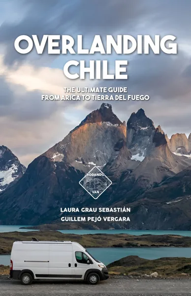


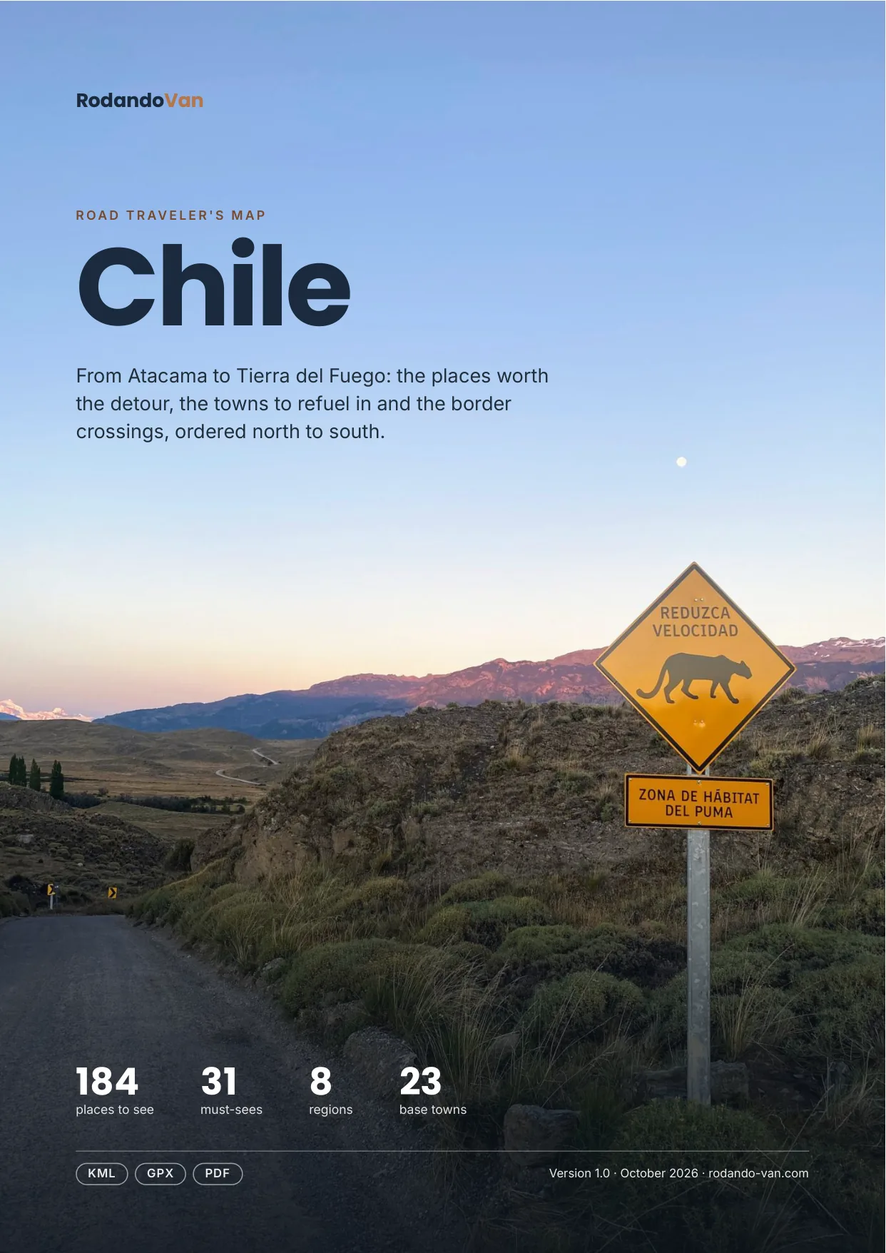
Chile road trip map
184 places from Atacama to Tierra del Fuego, organized into 8 regions, with the towns to refuel in, the isolated gas stations and the border crossings. On your phone with no signal, and in a mini guide to plan with.
- Instant download
- Works offline
- Free updates
Explore Chile by region
Pick a region and tap a large dot to see that must-see.
Norte Grande
The Atacama Desert, the altiplano, salt flats and the coast from Arica to Antofagasta.
- 14 parks and nature
- 8 culture and history
- 7 lakes, rivers and waterfalls
- 7 deserts and salt flats
- 5 base towns
- 2 mountains, volcanoes and glaciers
Must-sees in this region
- Lauca National ParkHigh-altitude park with Andean wildlife, Parinacota Volcano and Lake Chungará.
- El Tatio GeysersGeothermal field at about 4,300 m, the largest in the Southern Hemisphere. The geysers are best seen at sunrise, in sub-zero temperatures.
- Valle de la LunaMoon-like landscape with rock formations and dunes in the middle of the Atacama Desert. A good spot for sunset.
- Piedras RojasMulticolored landscape with turquoise water, salt flats and reddish rock formations.
- Laguna ChaxaWetland inside the salt flat where you can see flamingos feeding at sunset.
- Laguna MiscantiAltiplano lake at about 4,100 m, next to Laguna Miñiques with Miscanti Volcano behind it, in Los Flamencos National Reserve.
- HumberstoneGhost town declared a World Heritage Site for its saltpeter mining history.
- San Pedro de AtacamaBase town for exploring the Atacama Desert.
Plus 40 more places in this region, each with its number on the mini guide map.
Norte Chico
The Elqui Valley, observatory skies and the beaches of Atacama and Coquimbo.
- 2 parks and nature
- 2 base towns
- 1 beaches, coasts and islands
- 1 deserts and salt flats
- 1 culture and history
Some places in this region
- Salar de PedernalesLarge salt flat at over 3,300 m in the Atacama range, with turquoise lagoons and flamingos. Reached on dirt tracks from Diego de Almagro.
- Bahía Inglesa BeachBeach with white sand and calm turquoise water next to Caldera, one of the best known in northern Chile.
- Pan de Azúcar National ParkCoastal desert park with white sand beaches, cacti and boat trips to the Humboldt penguin island.
- Mamalluca ObservatoryTourist observatory for stargazing under some of the clearest skies in the world.
Plus 3 more places in this region, each with its number on the mini guide map.
Central Chile
Santiago, Valparaíso, the wine valleys and the surf coast.
- 6 parks and nature
- 5 base towns
- 4 beaches, coasts and islands
- 3 towns and cities
- 3 viewpoints and scenic drives
- 2 food and markets
Must-sees in this region
- Radal Siete Tazas National ParkPark with stepped waterfalls, turquoise pools and trails through native forest.
- ValparaísoWorld Heritage port city of hills with colorful houses, century-old funiculars and street art.
Plus 25 more places in this region, each with its number on the mini guide map.
Araucanía and Los Lagos
Volcanoes, monkey puzzle trees, hot springs and the big southern lakes.
- 12 parks and nature
- 5 lakes, rivers and waterfalls
- 5 hot springs
- 4 base towns
- 3 mountains, volcanoes and glaciers
- 2 towns and cities
Must-sees in this region
- Conguillío National ParkPark with volcanic landscapes, lagoons and forests of ancient monkey puzzle trees.
- Villarrica National ParkPark around Villarrica Volcano, one of the most active in Chile. You can climb to the crater with a guide, and there are trails among monkey puzzle trees.
- Osorno VolcanoActive volcano and symbol of the Los Lagos Region.
- Saltos del PetrohuéWaterfalls in Vicente Pérez Rosales National Park.
- Termas GeométricasStone hot spring pools linked by red wooden walkways in a ravine of native forest, near Coñaripe.
- Carretera AustralRoute 7 starts in Puerto Montt and runs for more than 1,200 km through fjords, glaciers and forests to Villa O’Higgins.
Plus 29 more places in this region, each with its number on the mini guide map.
Chiloé
Wooden churches, stilt houses and the wild Pacific coast.
- 11 towns and cities
- 4 food and markets
- 4 viewpoints and scenic drives
- 3 parks and nature
- 2 beaches, coasts and islands
- 1 lakes, rivers and waterfalls
Must-sees in this region
- Isla Grande de ChiloéIsland of legends, churches and natural parks.
- CastroTown known for its colorful houses on stilts.
Plus 25 more places in this region, each with its number on the mini guide map.
Carretera Austral
Route 7 through Aysén: fjords, glaciers, gravel roads and small towns.
- 12 lakes, rivers and waterfalls
- 8 parks and nature
- 7 mountains, volcanoes and glaciers
- 5 towns and cities
- 4 base towns
- 3 hot springs
Must-sees in this region
- Pumalín National ParkOne of the largest protected areas in Chile, with Valdivian rainforest, mountains and volcanoes, good for ecotourism and trekking.
- Queulat National ParkPark with hanging glaciers and lush vegetation.
- Cerro Castillo National ReserveReserve around Cerro Castillo, with tower-shaped peaks and one of the most popular treks in Aysén, up to its glacial lake.
- Marble CavesMarble formations on Lake General Carrera. Reached by boat or kayak.
- Patagonia National ParkLarge national park that protects unique Patagonian landscapes, with mountains, valleys, lagoons and rich biodiversity.
- FutaleufúTown on the Futaleufú River, one of the best rivers in the world for rafting thanks to its turquoise water and rapids.
- Confluence of the Baker and Neff riversMeeting point of two large rivers in Patagonia, with turquoise water surrounded by outstanding natural scenery.
- TortelPicturesque coastal village known for its wooden walkways and access to the Carretera Austral.
Plus 36 more places in this region, each with its number on the mini guide map.
Magallanes and Tierra del Fuego
Torres del Paine, the Strait of Magellan and the end of the continent.
- 7 viewpoints and scenic drives
- 4 lakes, rivers and waterfalls
- 3 parks and nature
- 2 base towns
- 1 beaches, coasts and islands
- 1 towns and cities
Must-sees in this region
- Torres del Paine National ParkPark of granite towers, glaciers and turquoise lakes, with the W and O treks. Book entry and campsites in advance.
- Parque Pingüino ReyProtected area where you can watch a colony of king penguins in their natural habitat.
- Salto Grande ViewpointViewpoint over the powerful Salto Grande waterfall, which connects lakes Nordenskjöld and Pehoé.
- Lago Grey ViewpointPanoramic spot with great views of the lake and Grey Glacier.
- Puerto NatalesGateway to Torres del Paine National Park.
Plus 13 more places in this region, each with its number on the mini guide map.
Pacific islands
Rapa Nui, 3,700 km off the mainland: by plane only.
This region isn't on the map: it's far off the mainland.
- 1 beaches, coasts and islands
Some places in this region
- Easter IslandPacific island about 3,700 km from the mainland, with almost a thousand moai and Rapa Nui culture. Reached by plane from Santiago.
Must-seeOther place
What's on the map
207 places in 11 categories, each one a layer in your maps app.
- Parks and nature48
- Lakes, rivers and waterfalls30
- Towns and cities24
- Base towns23
- Viewpoints and scenic drives19
- Mountains, volcanoes and glaciers13
- Beaches, coasts and islands13
- Culture and history13
- Hot springs10
- Deserts and salt flats8
- Food and markets6
Inside the mini guide
25 pages with a map for each region, for your phone or to print.
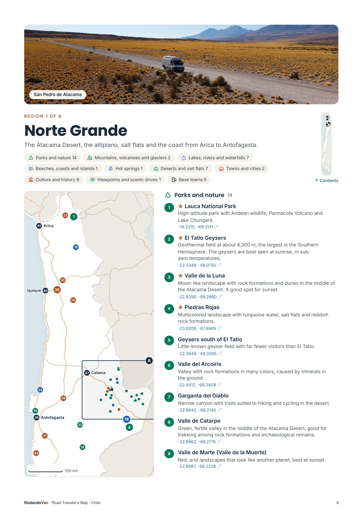
A map for each region, with every place numbered
- The number is the same on the map, in the list and in the phone file.
- Where many places are close together, a separate detail map.
- The coordinates open the place in Google Maps from the PDF.
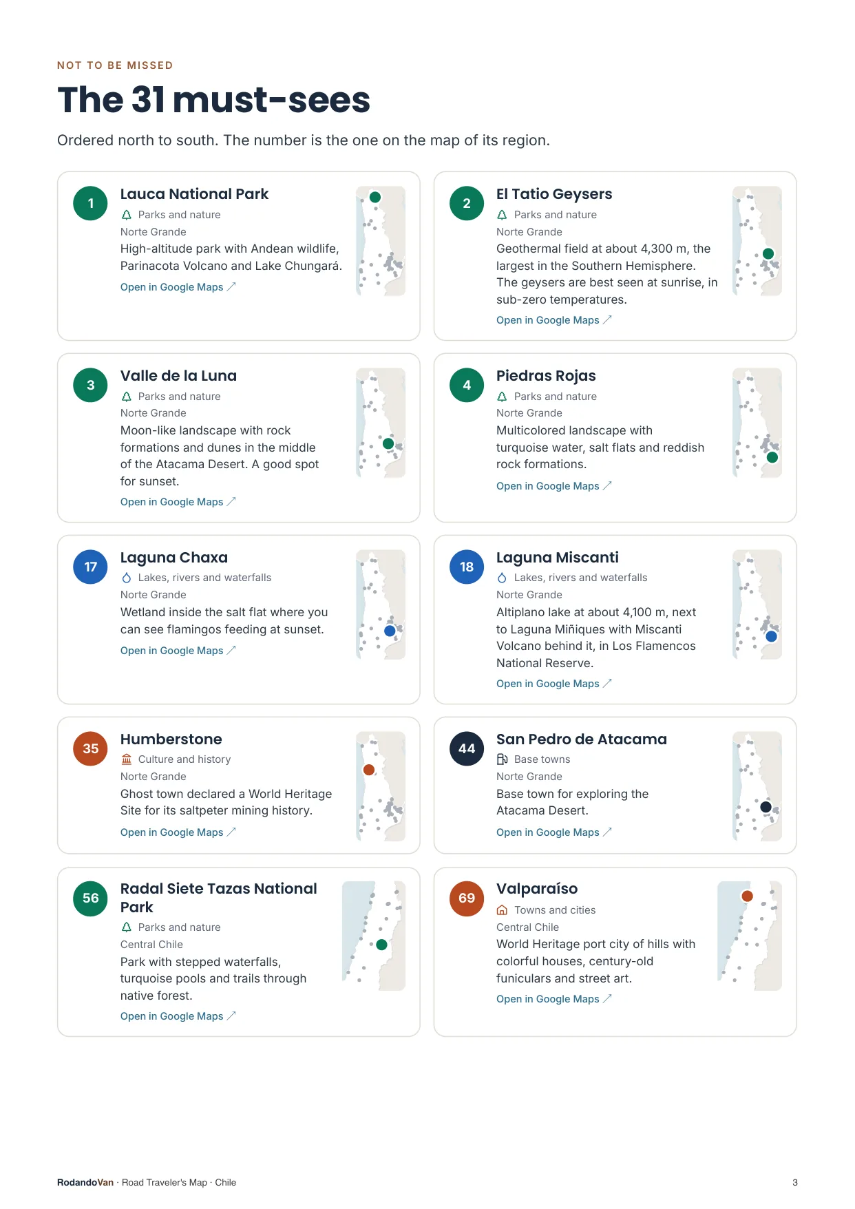
The must-sees, on cards
- What we wouldn't skip in Chile, ordered by region.
- Each card has a small map showing where it is in its region.
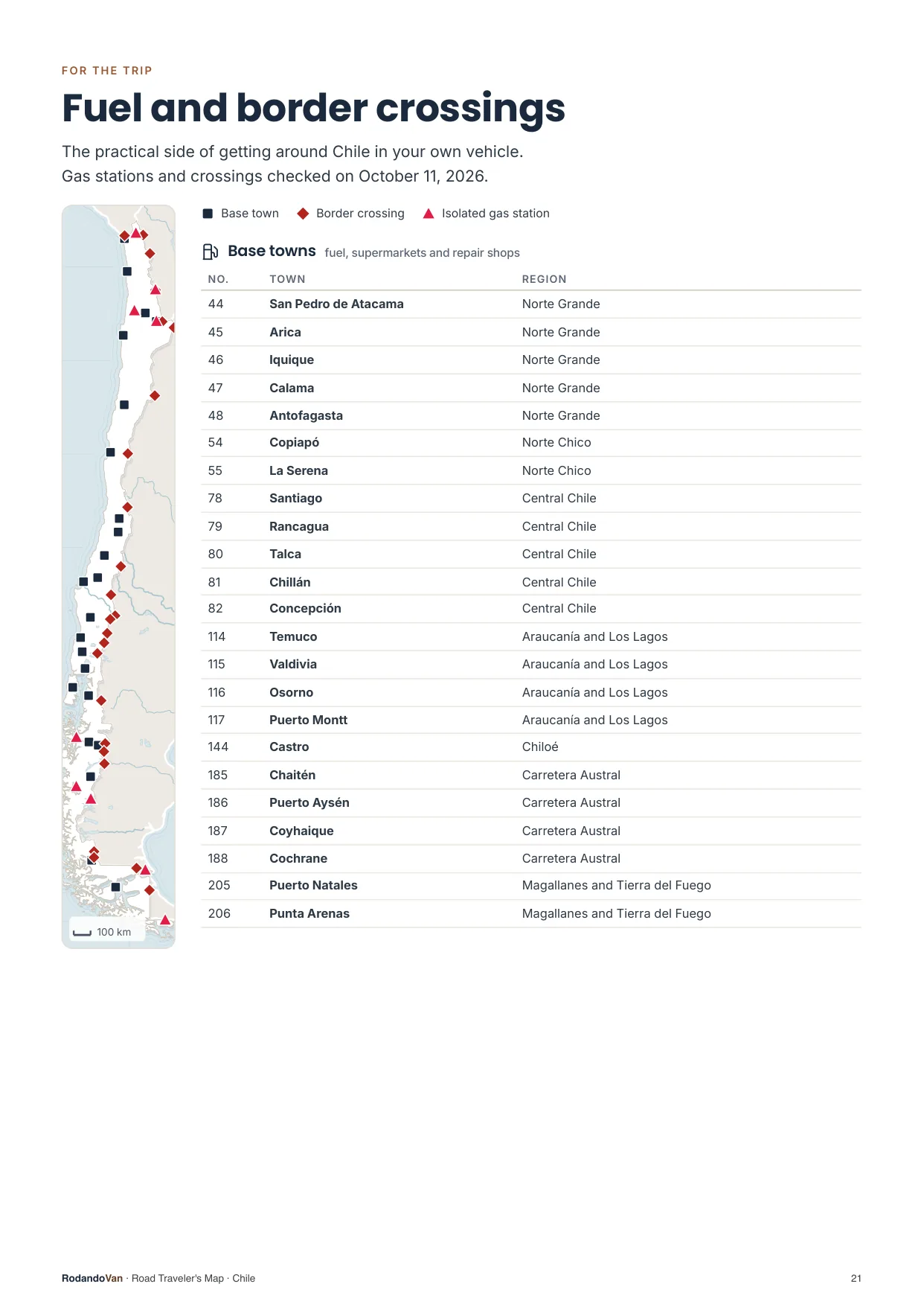
The practical side of getting around
- 23 towns to refuel, shop and find a mechanic.
- 9 gas stations with no other nearby, so you don't run short on long stretches.
- 24 border crossings with their location.
What you get
A ZIP with the map for your phone and the mini guide, ready to use offline.
- The map on your phoneAll 207 places in KML and GPX, each with its number, category and description. Works with Organic Maps and OsmAnd (offline) and with Google Maps through My Maps.KMLGPX
- 25-page mini guideA map for each region with numbered places, the must-sees on cards, ready to print.PDF
- Practical info for the tripBase towns and border crossings, on the same map. Isolated gas stations, in the mini guide.KMLPDF
- UpdatesWhen we fix or add places, you get the new version at no extra cost.
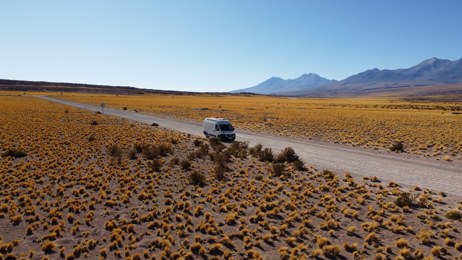
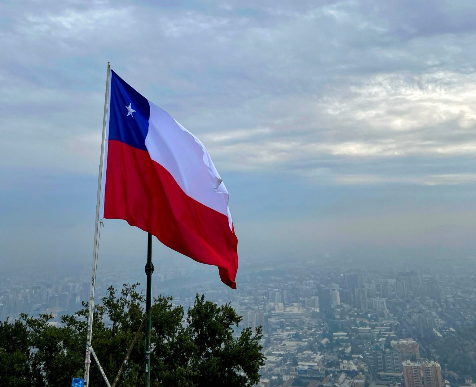
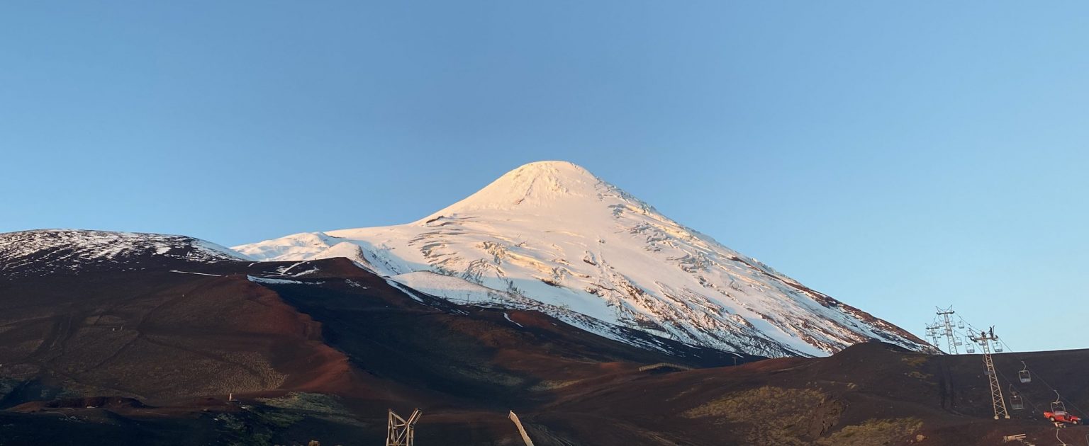
From our trip through Chile
We put this map together while traveling through Chile in our van, with the places we thought were worth it.
How it works
No accounts, no subscriptions.
Buy the map
Secure card payment. You'll get an email with the download link.
Load it on your phone
Open it with Organic Maps or Google Maps. The ZIP and the mini guide include instructions for each app.
Use it with no signal
Find each place by number, region or category. Use the mini guide to plan your route or print it.
Frequently asked questions
Which apps does it work with?
With Organic Maps and OsmAnd, on iPhone and Android and offline; with Gaia GPS or Locus Map; and with Google Maps, by importing the KML into Google My Maps from a computer.
Does it work with Apple Maps?
No. Apple Maps does not let you import KML or GPX files. On iPhone you can use Organic Maps, which is free and works offline, or Google Maps with My Maps.
Does it work without internet?
Yes, with Organic Maps or OsmAnd: the places are stored on your phone and you download the country map in the app. In Google Maps, maps imported with My Maps need a connection.
Have you been to every place?
No. It is our selection of places worth visiting, organized by region and described.
Where do the gas stations and border crossings come from?
The isolated gas stations come from open data, with the date they were checked. The crossings are the main ones for crossing in a vehicle, reviewed one by one, and they are on the map with the other places; the gas stations are in the mini guide. They can change: check hours and requirements before crossing.
Can I print it?
Yes, the mini guide is designed to be printed on A4, with one map per region.
How do I get updates?
We'll let you know by email and you download the new version from the same link, at no extra cost.
Are there maps of other countries?
Yes. There are maps for 10 South American countries, one by one or in a pack with all of them.
Chile in your pocket
Everything we saved about Chile, organized so you don't have to.
- 184 places in 8 regions, with 31 must-sees
- KML and GPX files for your phone
- 25-page mini guide with maps by region
- Practical info: 23 base towns, 9 isolated gas stations and 24 border crossings
- Free updates